Download Maps of South America
[download id=”3618″ template=”button”]
You can download free maps of South America showing the borders of countries. There may be some cost for premium products but generally we provide an A3 map that can be printed to fit A2, A3, A4. We have been listening to teachers, students and people interested in general knowledge and for research purposes and these seem to fit their needs. However, if you require a custom map then contact us.
Is South America a continent?
Maybe. You see, depending on where you live, South America is commonly known as a continent by itself, but many people also know it as part of the continent America, which also includes North America.

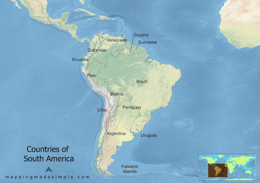
What countries are in South America?
South America includes the countries of Venezuela, Guyana, Suriname, Colombia, Ecuador, Peru, Bolivia, Paraguay, Chile, Argentina, Uruguay and the Falkland Islands. It has the Pacific Ocean to the west and the Atlantic Ocean east.
Explore South America with Google Maps